FEATURES & FUNCTIONALITY
# SIVI GeoInfra GIS Dashboard
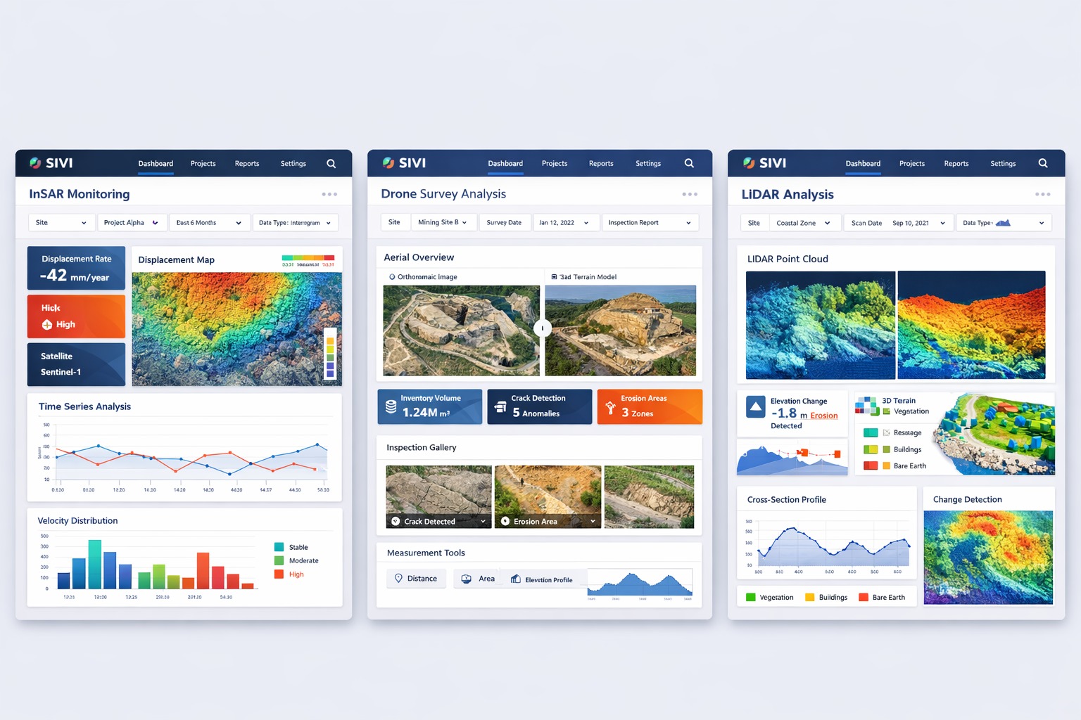
#Key Features
- - Real-time data visualization with dynamic map layers
- - AI-driven anomaly detection and alerts
- - Multi-source data integration (satellite, drone, IoT)
- - Interactive charts, maps, and analytics widgets
- - Cloud-based and scalable architecture
#3D Mapping & LiDAR Services
- - Urban planning and smart city modelling
- - Infrastructure monitoring
- - Terrain analysis and volumetric calculations
- - Digital twin creation
#AI-Based Anomaly & Security Detection
- Case Study – InSAR Monitoring
| Feature | Traditional GIS | SIVI AI GIS |
|---|---|---|
| Design | Manual | AI-generated |
| Insights | Static | Real-time & predictive |
| Usability | Technical expertise required | User-friendly |
| Data Processing | Time-consuming | Automated |
| Customization | Limited | Fully dynamic |