Industries We serve
# SIVI GeoInfra Serve
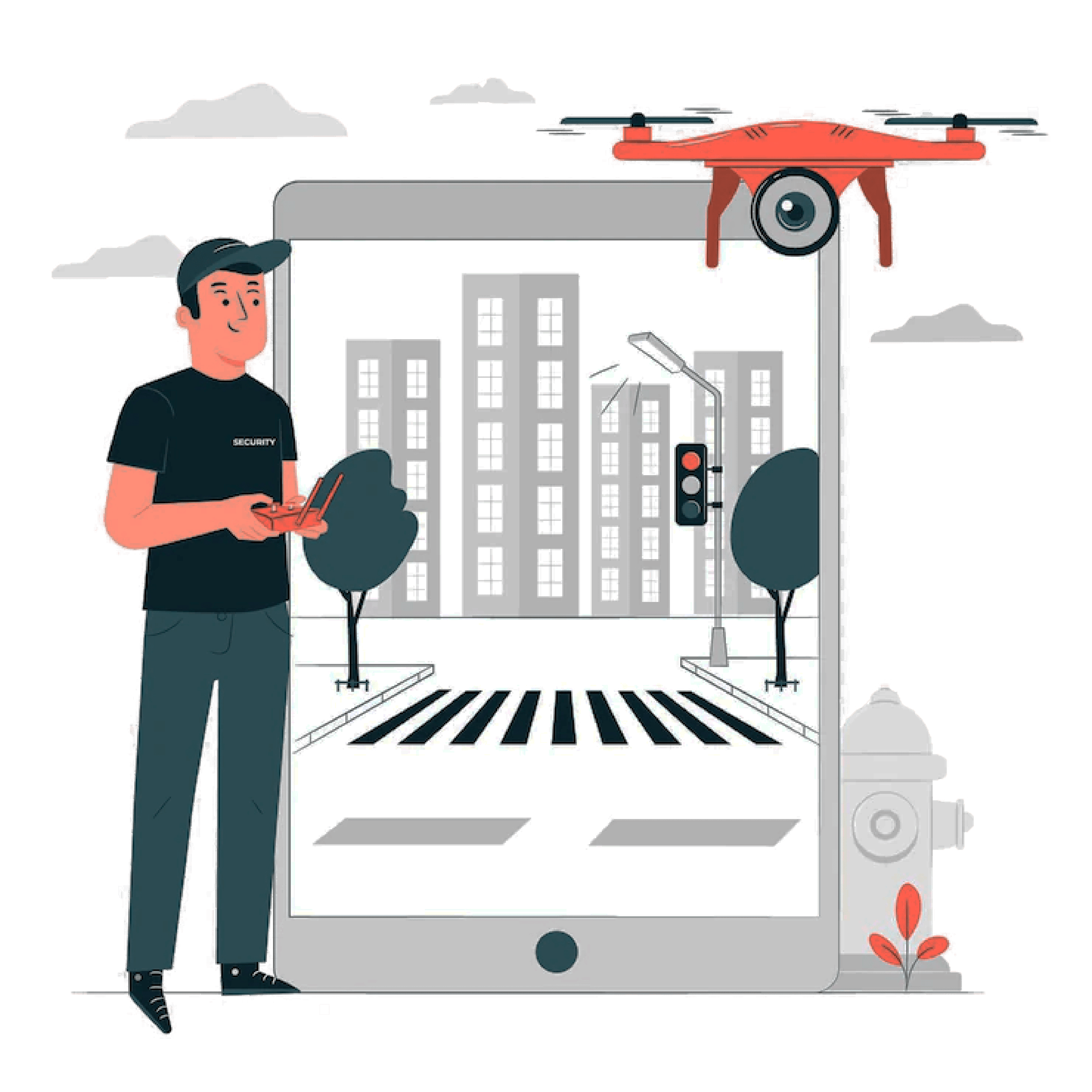
Transportation
Projects with GIS, topography surveys, aerial maps, and UAVs crafted with the high-end advanced sensors for surveying, Monitoring & Inspection.
Infrastructure
Our Pre-Construction Aerial Survey, drone videos with geotagged info, drone inspection, City Traffic Analysis, etc.
Land & Agriculture
Our Aerial survey, mapping, and high-end UAVs in agriculture, land survey can help keep track.