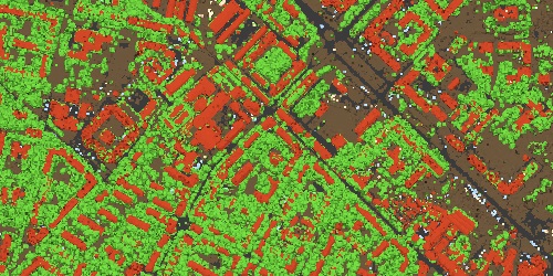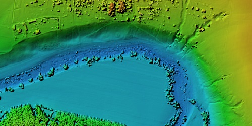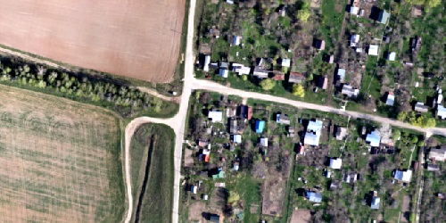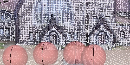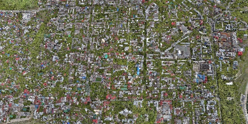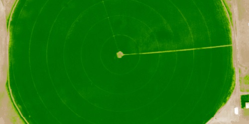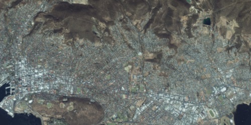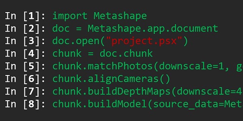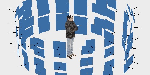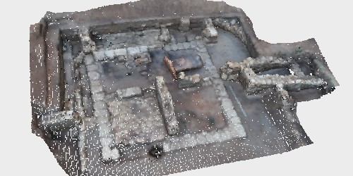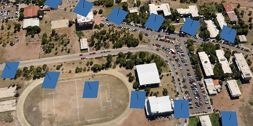
Photogrammetric triangulation
View More >>
Photogrammetric triangulation
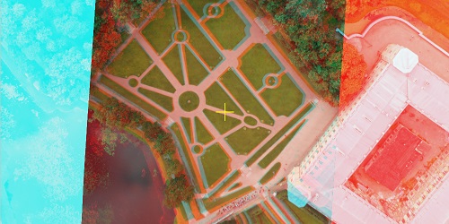
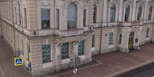
- Processing of various types of imagery: aerial (nadir, oblique), close-range, satellite.
- Auto calibration: frame (incl. fisheye), spherical & cylindrical cameras.
- Multi-camera projects support.
- Scanned images with fiducial marks support.